Official Site of The State of New Jersey
NJGIN
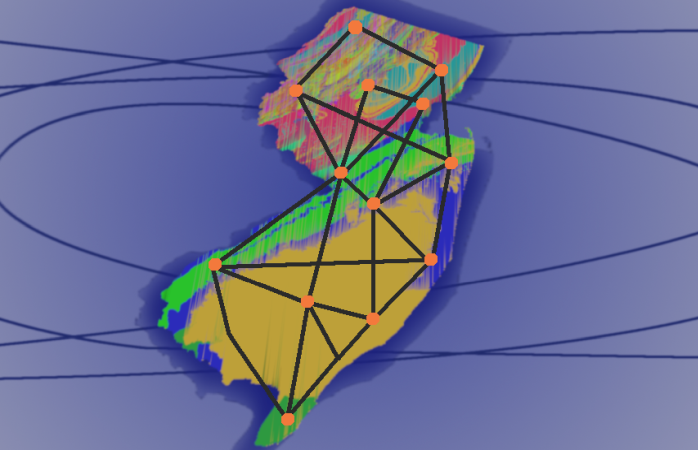
The New Jersey Geographic Information Network (NJGIN) was founded by the NJ Office of Information Technology, Office of GIS in 2001 to facilitate the sharing of geospatial content in the NJ GIS community. The network consists of a loose federation of data stewards across the state that openly share their valuable spatial data. The focal point of the network is this website, where information consumers can search for geospatial content and data stewards can share their authoritative geospatial content.
If you are interested in sharing your geospatial content, please see Share Your Data or Contact Us. In addition, NJOGIS is an aggregator of statewide datasets such as roadways, property parcels and address points.
To view the NJGIN data policy and terms of use, click here.