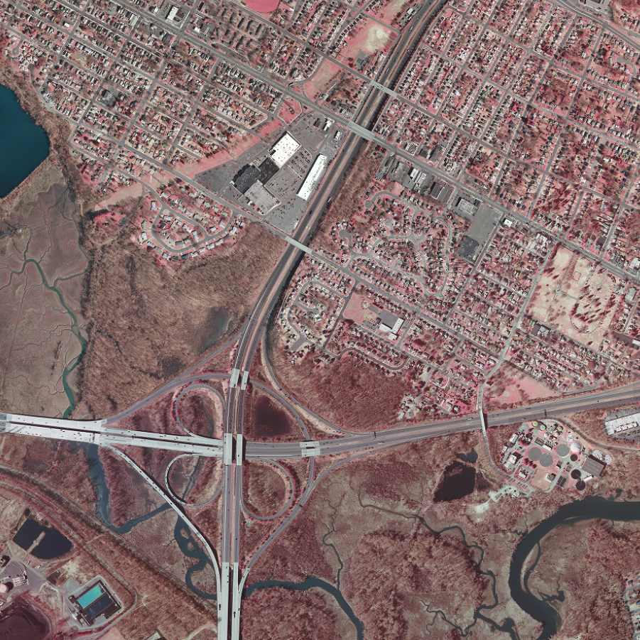
Imagery
As part of New Jersey's statewide GIS coordination program, orthoimagery is made available as specialized web services known as map services. Map services allow the user's computer or device to access imagery on demand via an internet connection without the need to download the imagery's source data files. In addition to the entire catalog of imagery available in WMS format, NJOGIS has begun to publish high-demand imagery as cached map services available as both an ArcGIS REST and WMTS.
Imagery consumed in the WMS format is dynamically rendered on-the-fly by the server and often provides the best fidelity with the source data files. WMS imagery is Open Geospatial Consortium (OGC) compliant, which is compatible with a broad range of client software. Imagery consumed from a cached service, whether ArcGIS REST or WMTS, typically displays more quickly and can scale to a high number of simultaneous users without a degradation in performance. NJOGIS recommends use of cached map services where available to provide the best end-user experience.
Need more help choosing which imagery format to use? Watch this presentation or Contact Us for more information.
PLEASE NOTE: There are size limits on images requested from our WMS. The maximum image width and length is 3840 x 3840 pixels.
Technical Instructions
Directions for ArcGIS Pro & ArcMap
Click on the link for your streaming type below (ArcGIS REST, WMTS or WMS). On the right-hand side of the ArcGIS Online item page, click on Open in ArcGIS Desktop and select Open in ArcGIS Pro or ArcMap in the dropdown. You can either open this file directly or save it in your preferred workspace to open later.
Directions for ArcGIS Online
Click on the link for your streaming type below (ArcGIS REST, WMTS or WMS). On the right-hand side of the ArcGIS Online item page, click on Open in Map Viewer to add the layer to an existing web map, or click on Add to new map if you want to add the layer to a brand new web map. You must be signed in to ArcGIS Online to save the web map or add the item to a group in your organization.
Directions for AutoCAD and other OGC-compliant client software
- Please see this detailed guide on how to add a streaming web mapping service (WMS) to AutoCAD. Thank you to ARH, Inc. for sharing this document.
- To get the URL for an individual WMS year below, click on the link under the WMS streaming type. On the ArcGIS Online item page, scroll to the bottom. On the bottom right of the page, copy the URL of the WMS for use in AutoCAD and other OGC-compliant client software.
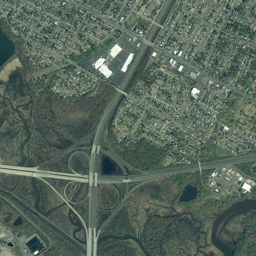 |
Natural Color (1 ft leaf off)Cached WMS |
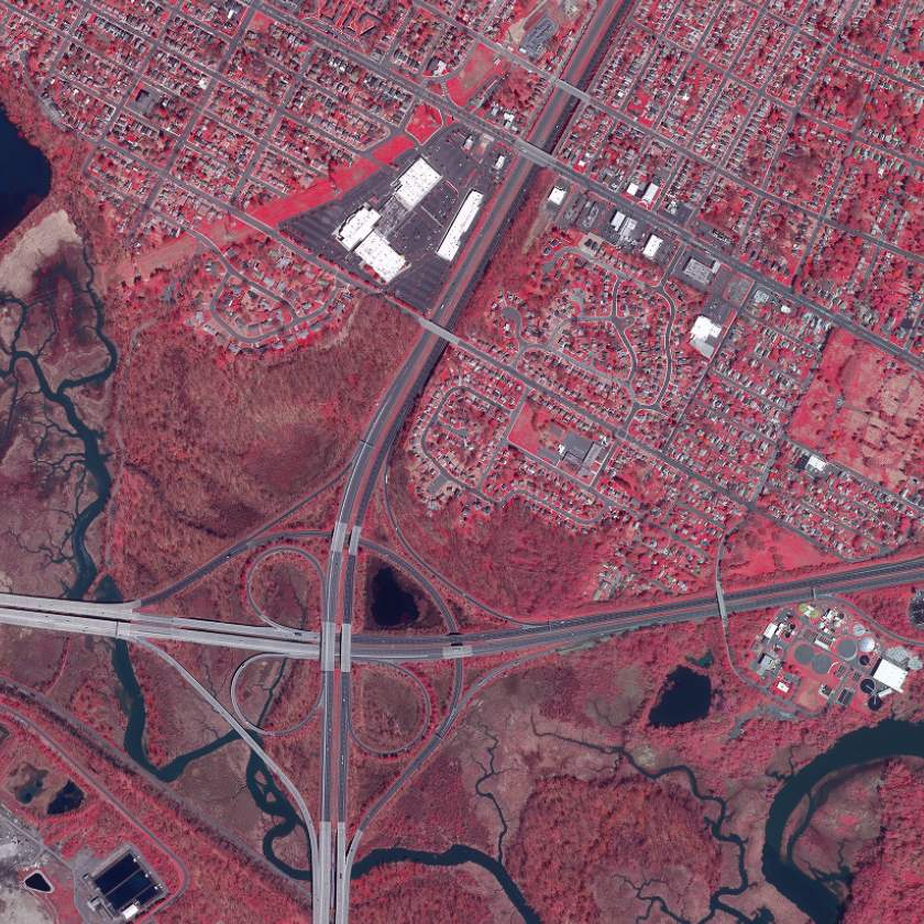 |
Infrared (1 ft leaf off)WMS |
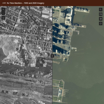 |
NJ Time Machine AppCompare 2020 imagery to 1930 imagery |
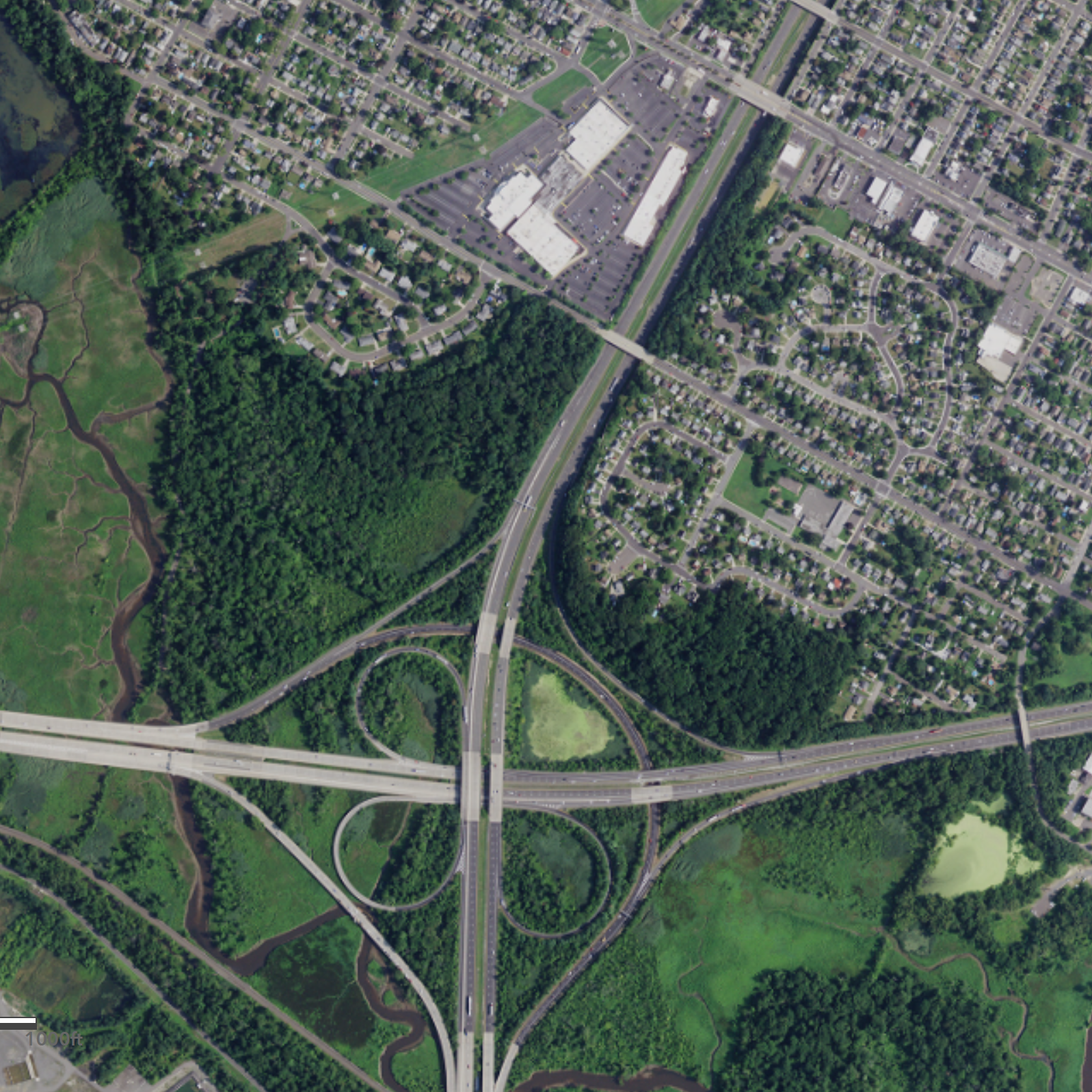 |
NAIP Natural Color (1 m leaf on)WMS |
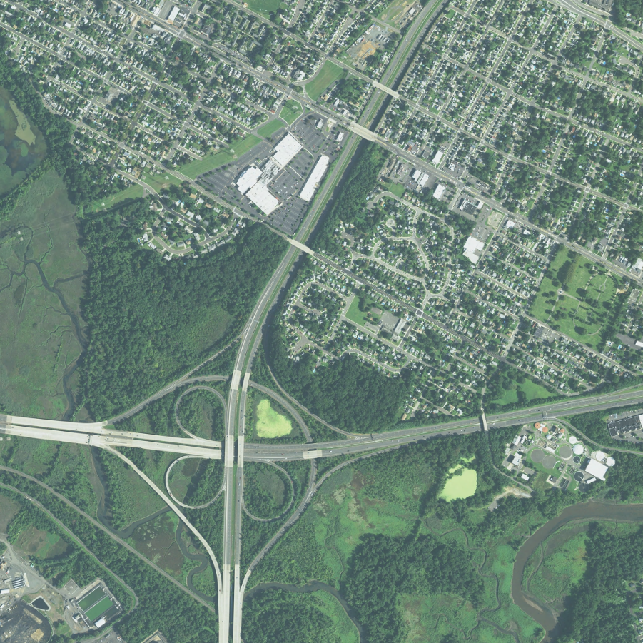 |
NAIP Natural Color (1 m leaf on)WMS |
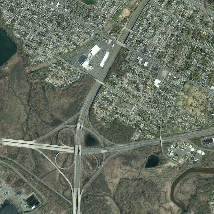 |
Natural Color (1 ft leaf off)Cached WMS |
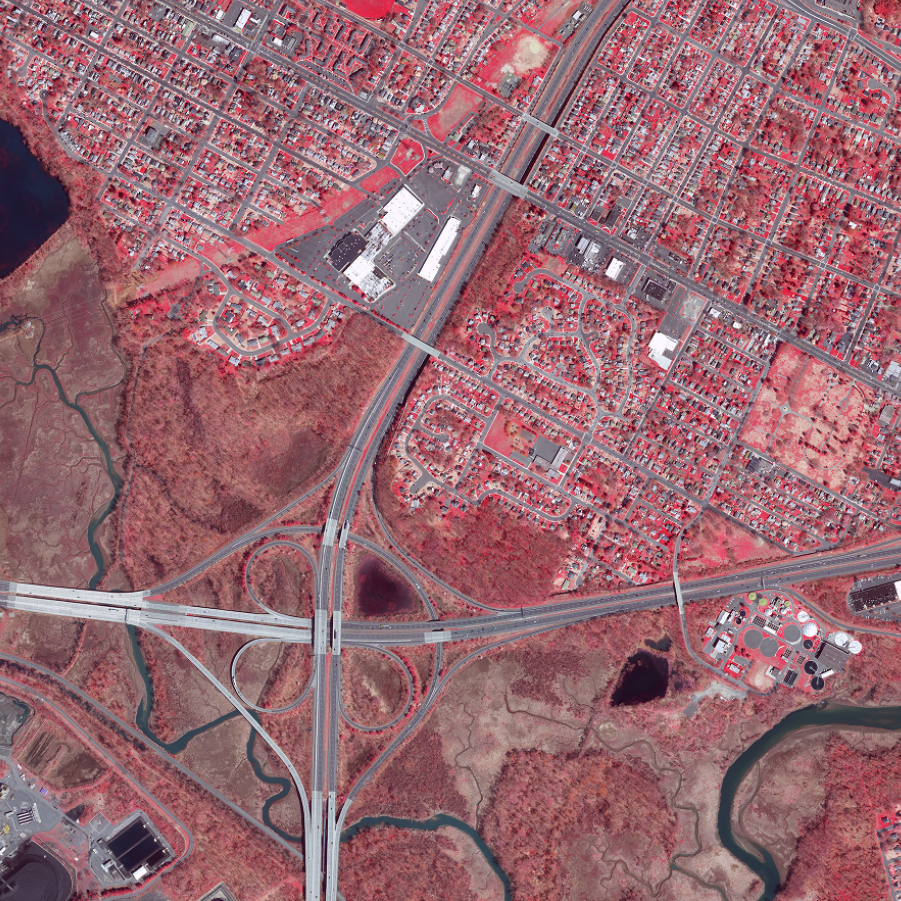 |
Infrared (1 ft leaf off)WMS |
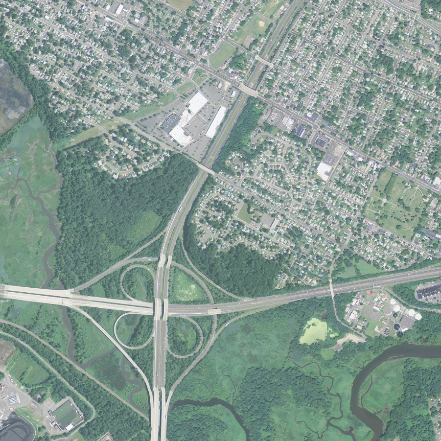 |
NAIP Natural Color (1 m leaf on)WMS |
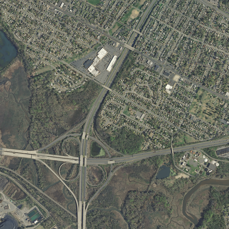 |
Natural Color (1 ft leaf off)Cached WMS |
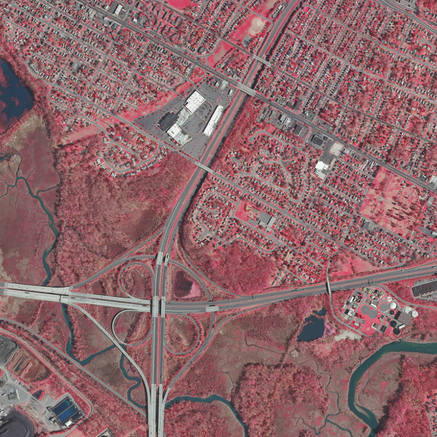 |
Infrared (1 ft leaf off)WMS |
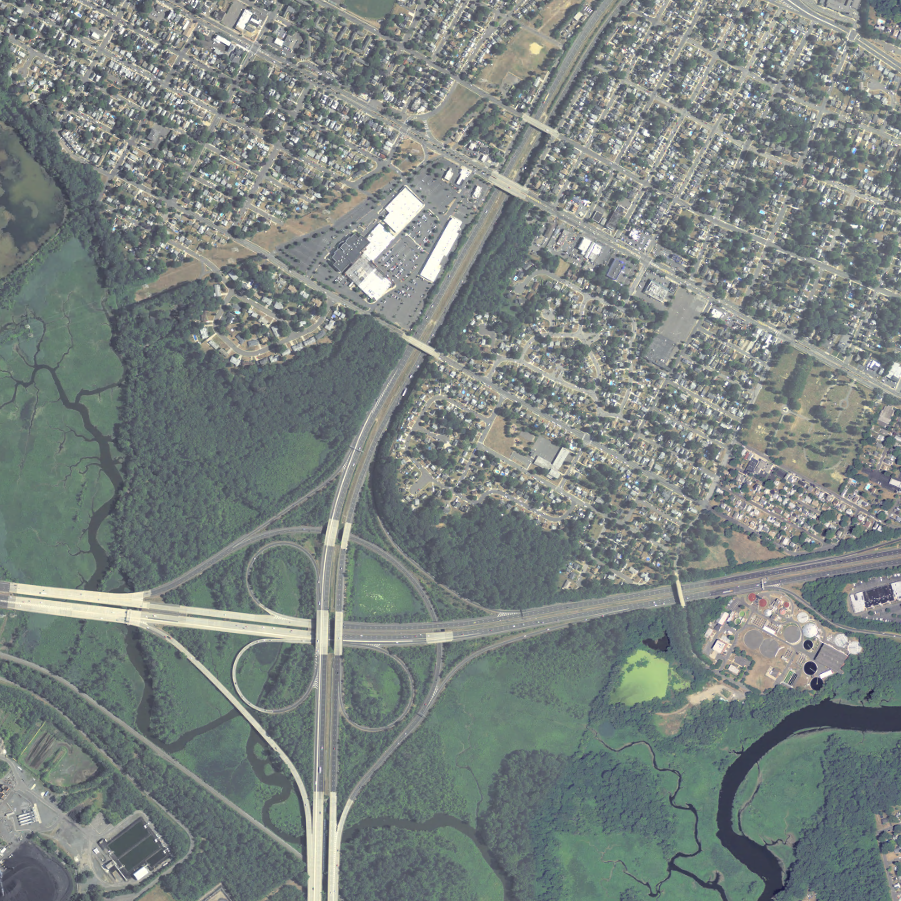 |
NAIP Natural Color (1 m leaf on)WMS |
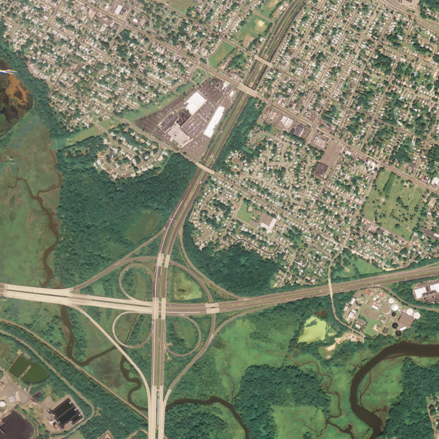 |
NAIP Natural Color (1 m leaf on)WMS |
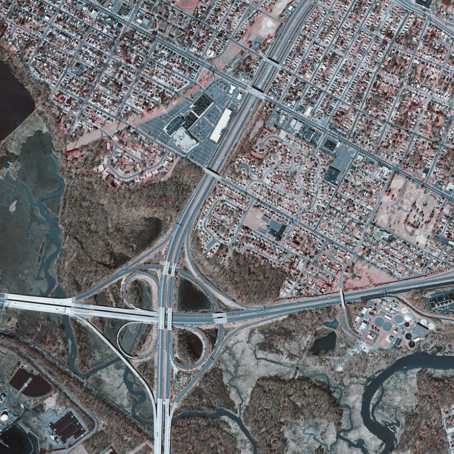 |
Infrared (1 ft leaf off)WMS |
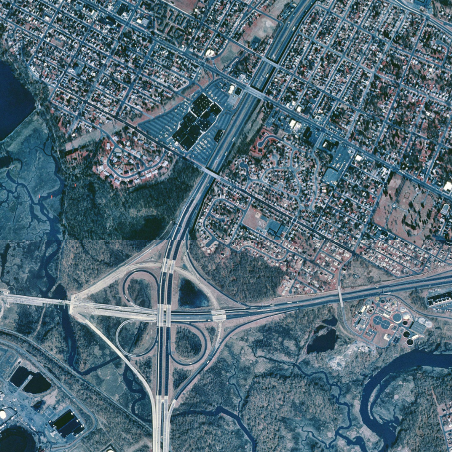 |
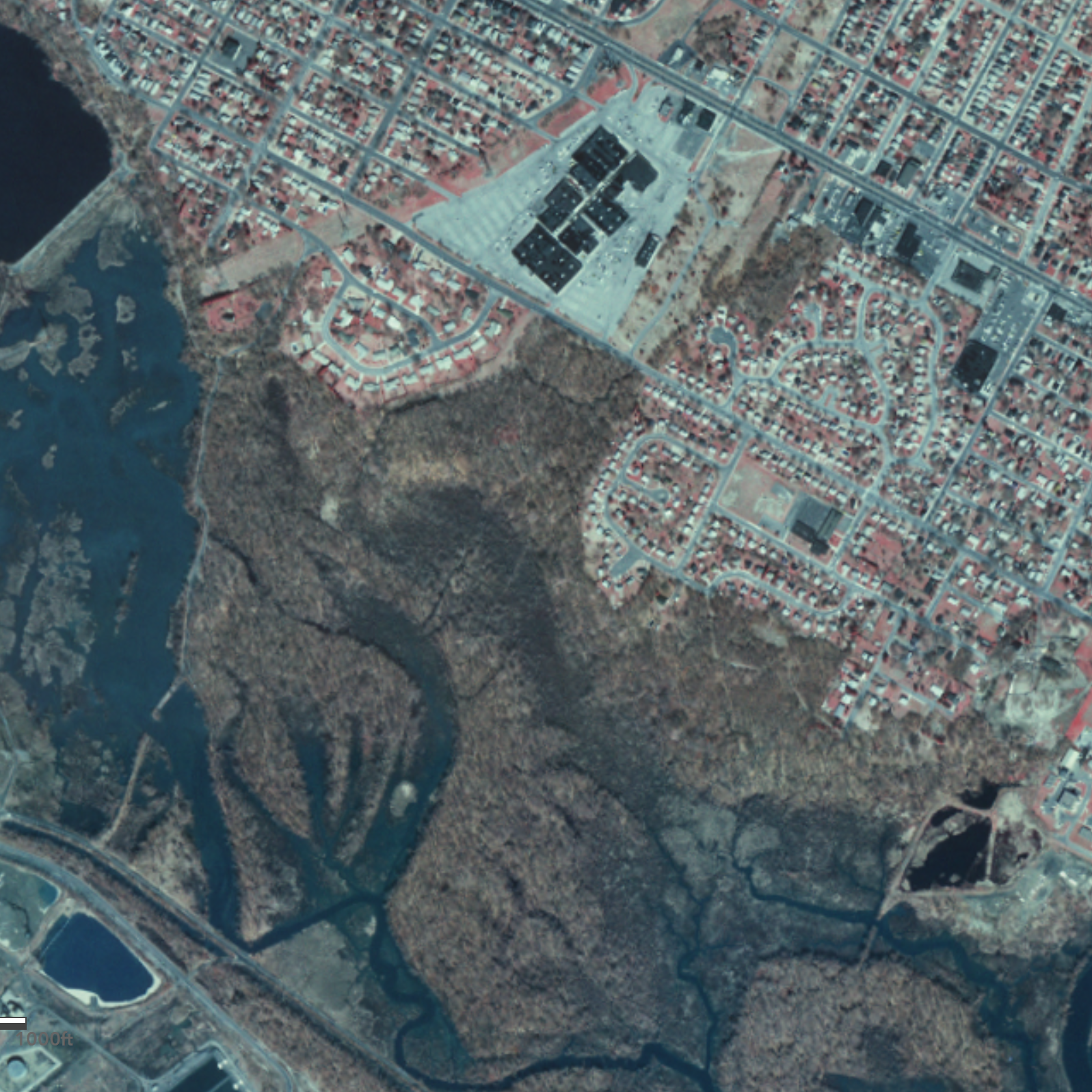
Infrared (1 m leaf off)WMS |
 |
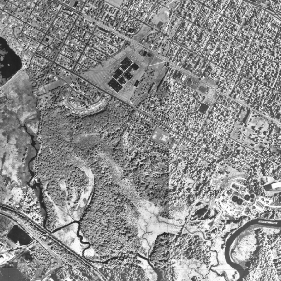
USGS NHAP Infrared (0.75 m leaf off)WMS |
 |
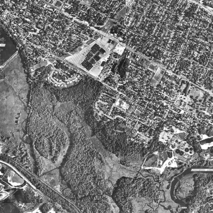
Tidelands (black & white, 1 ft leaf on)WMS |
 |
Wetlands (black & white, 1 ft leaf on)WMS |
 |
Coastal (black & white, leaf off)WMS |
USDA National Agriculture Imagery Program (NAIP) collections are available for streaming using the links below.
NAIP GeoHub
NAIP USDA_CONUS_PRIME ArcGIS Image Service
As part of New Jersey's statewide GIS coordination program, a selection of NJ imagery collections are available for download from the Imagery Warehouse App. These collections include aerial photography from the 1930s, and natural color orthoimagery from 2007, 2012 and 2015. They are available in MrSID and Cloud Optimized GeoTIFF (COG) formats. These data are stored in Amazon Web Services (AWS) Simple Storage Service through the AWS Open Data program and are available for download using the AWS Command Line Interface. They are no longer available on physical media such as hard drives. Cached imagery tile packages are also available for 2012 and 2015. Contact Us for more information.
Technical Instructions
All four bands are present in the MG4 MrSID files.
Natural color display: red = band 1, green = band 2, blue = band 3
False color (infrared) display: red = band 4, green = band 1, blue = band 2
Directions for ArcGIS Pro & ArcMap
Make sure there are not any stretch settings applied to the raster layer by default.
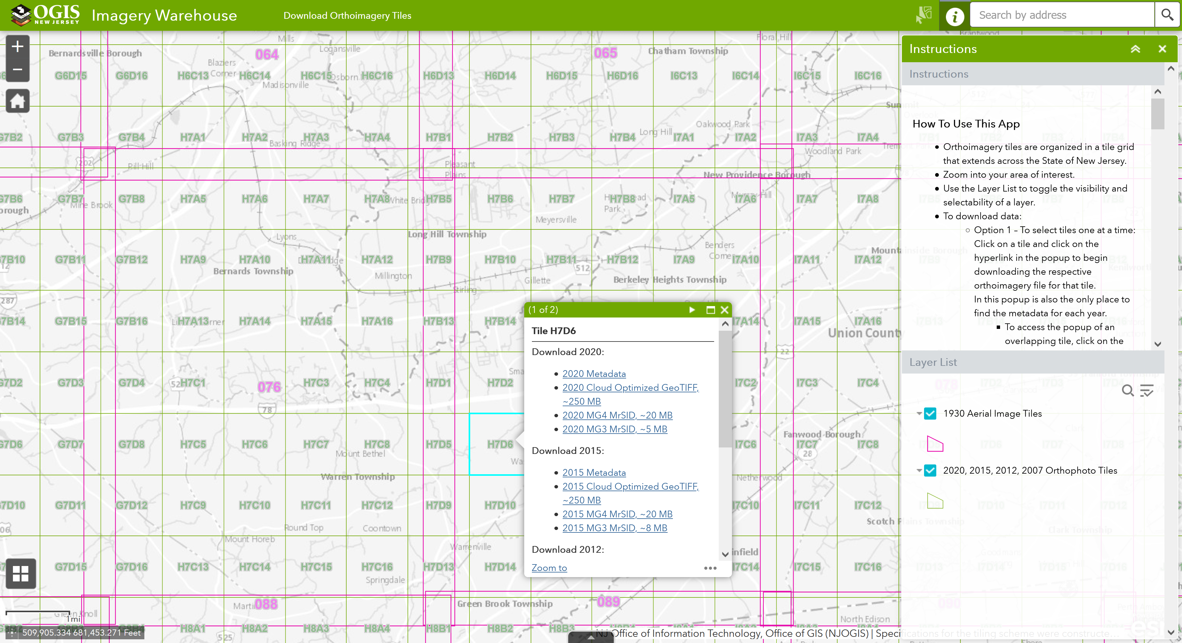
Imagery Warehouse Interactive Web App
- User-friendly web application to download selected imagery files
- Download large numbers of files through unattended download
- Download by custom geography (view demo)
- Download using third-party bulk download utility, uGET
- View instructions from The National Map by USGS
- View demo
- View and download Imagery Warehouse tile grids separately
- Access the same download-by-tile functionality as the Imagery Warehouse using your own GIS software
- 2007 grid: 2020, 2015, 2012, and 2007 collection years
- 1930s grid
Available For Download
- 2020: Cloud Optimized GeoTIFF, MrSID MG4, MrSID MG3
- 2015: Cloud Optimized GeoTIFF, MrSID MG4, MrSID MG3
- 2012: Cloud Optimized GeoTIFF, MrSID MG4
- 2007: Cloud Optimized GeoTIFF, MrSID MG3
- 1930s: Cloud Optimized GeoTIFF
 |
To download the files, install the AWS Command Line Interface to issue commands from your computer's command prompt. In Windows 10, that is found under "Windows System" or by right-clicking the Windows Start button, then click Run, then type cmd into the command line, then click OK. Instructions for download options are provided below: |
|
An orthophoto grid (tile index) for 2020 imagery is included (shapefile & file geodatabase), Orthophoto_Grid_2007_for_New_Jersey.zip. It is also available for viewing and download on NJGIN Open Data. |
Download 2020 MrSID and COG tiles
There are 27,616 MrSID and COG files totaling 2.4 TB. Be sure there is adequate storage available on your computer. Once the CLI is installed, list all the tiles with the following command:
aws s3 ls s3://njogis-imagery/2020/ --no-sign-request --recursive --human-readable
Perform a dry run without downloading any tiles to confirm the CLI is working and the command parameters are correct. Change the c:\tiles\ to the local directory into which the files will be copied. To execute a dry run, use the following command:
aws s3 cp s3://njogis-imagery/2020/ c:\tiles\ --no-sign-request --recursive --dryrun
Upon a successful dry run, download the tiles to your computer using the following command (note the omission of the --dry-run parameter used above):
aws s3 cp s3://njogis-imagery/2020/ c:\tiles\ --no-sign-request --recursive
The download command will run unattended until completion. It is likely to require several hours (or possibly days) depending on the speed of your internet connection and computer.
Download 2020 MrSID (MG4) tiles
There are 9,202 MrSID (MG4) files totaling 171.3 GB. Be sure there is adequate storage available on your computer. Once the CLI is installed, list all the MrSID tiles with the following command:
aws s3 ls s3://njogis-imagery/2020/MG4/ --no-sign-request --recursive --human-readable
Perform a dry run without downloading any tiles to confirm the CLI is working and the command parameters are correct. Change the c:\tiles\ to the local directory into which the files will be copied. To execute a dry run, use the following command:
aws s3 cp s3://njogis-imagery/2020/MG4/ c:\tiles\ --no-sign-request --recursive --dryrun
Upon a successful dry run, download the tiles to your computer using the following command (note the omission of the --dry-run parameter used above):
aws s3 cp s3://njogis-imagery/2020/MG4/ c:\tiles\ --no-sign-request --recursive
The download command will run unattended until completion. It is likely to require several hours (or possibly days) depending on the speed of your internet connection and computer.
Download 2020 MrSID (MG3) tiles
There are 9,202 MrSID (MG3) files totaling 43.2 GB. Be sure there is adequate storage available on your computer. Once the CLI is installed, list all the MrSID tiles with the following command:
aws s3 ls s3://njogis-imagery/2020/MG3/ --no-sign-request --recursive --human-readable
Perform a dry run without downloading any tiles to confirm the CLI is working and the command parameters are correct. Change the c:\tiles\ to the local directory into which the files will be copied. To execute a dry run, use the following command:
aws s3 cp s3://njogis-imagery/2020/MG3/ c:\tiles\ --no-sign-request --recursive --dryrun
Upon a successful dry run, download the tiles to your computer using the following command (note the omission of the --dry-run parameter used above):
aws s3 cp s3://njogis-imagery/2020/MG3/ c:\tiles\ --no-sign-request --recursive
The download command will run unattended until completion. It is likely to require several hours (or possibly days) depending on the speed of your internet connection and computer.
Download 2020 COG tiles
There are 9,207 COG files totaling 2.2 TB. Be sure there is adequate storage available on your computer. Once the CLI is installed, list all the tiles with the following command:
aws s3 ls s3://njogis-imagery/2020/cog/ --no-sign-request --recursive --human-readable
Perform a dry run without downloading any tiles to confirm the CLI is working and the command parameters are correct. Change the c:\tiles\ to the local directory into which the files will be copied. To execute a dry run, use the following command:
aws s3 cp s3://njogis-imagery/2020/cog/ c:\tiles\ --no-sign-request --recursive --dryrun
Upon a successful dry run, download the tiles to your computer using the following command (note the omission of the --dry-run parameter used above):
aws s3 cp s3://njogis-imagery/2020/cog/ c:\tiles\ --no-sign-request --recursive
The download command will run unattended until completion. It is likely to require several hours (or possibly days) depending on the speed of your internet connection and computer.
 |
To download the files, install the AWS Command Line Interface to issue commands from your computer's command prompt. In Windows 10, that is found under "Windows System" or by right-clicking the Windows Start button, then click Run, then type cmd into the command line, then click OK. Instructions for download options are provided below: |
|
An orthophoto grid (tile index) for 2015 imagery is included (shapefile & file geodatabase), Orthophoto_Grid_2007_for_New_Jersey.zip. It is also available for viewing and download on NJGIN Open Data. |
Download 2015 MrSID and COG tiles
There are 27,603 MrSID and COG tiles totaling 2.4 TB. Be sure there is adequate storage available on your computer. Once the CLI is installed, list all the tiles with the following command:
aws s3 ls s3://njogis-imagery/2015/ --no-sign-request --recursive --human-readable
Perform a dry run without downloading any tiles to confirm the CLI is working and the command parameters are correct. Change the c:\tiles\ to the local directory into which the files will be copied. To execute a dry run, use the following command:
aws s3 cp s3://njogis-imagery/2015/ c:\tiles\ --no-sign-request --recursive --dryrun
Upon a successful dry run, download the tiles to your computer using the following command (note the omission of the --dry-run parameter used above):
aws s3 cp s3://njogis-imagery/2015/ c:\tiles\ --no-sign-request --recursive
The download command will run unattended until completion. It is likely to require several hours (or possibly days) depending on the speed of your internet connection and computer.
Download 2015 MrSID (MG4) tiles
There are 9,201 MrSID (MG4) tiles totaling 172.5 GB. Be sure there is adequate storage available on your computer. Once the CLI is installed, list all the MrSID tiles with the following command:
aws s3 ls s3://njogis-imagery/2015/sid/ --no-sign-request --recursive --human-readable
Perform a dry run without downloading any tiles to confirm the CLI is working and the command parameters are correct. Change the c:\tiles\ to the local directory into which the files will be copied. To execute a dry run, use the following command:
aws s3 cp s3://njogis-imagery/2015/sid/ c:\tiles\ --no-sign-request --recursive --dryrun
Upon a successful dry run, download the tiles to your computer using the following command (note the omission of the --dry-run parameter used above):
aws s3 cp s3://njogis-imagery/2015/sid/ c:\tiles\ --no-sign-request --recursive
The download command will run unattended until completion. It is likely to require several hours (or possibly days) depending on the speed of your internet connection and computer.
Download 2015 MrSID (MG3) tiles
There are 9,201 MrSID (MG3) tiles totaling 65.4 GB. Be sure there is adequate storage available on your computer. Once the CLI is installed, list all the MrSID tiles with the following command:
aws s3 ls s3://njogis-imagery/2015/MG3/ --no-sign-request --recursive --human-readable
Perform a dry run without downloading any tiles to confirm the CLI is working and the command parameters are correct. Change the c:\tiles\ to the local directory into which the files will be copied. To execute a dry run, use the following command:
aws s3 cp s3://njogis-imagery/2015/MG3/ c:\tiles\ --no-sign-request --recursive --dryrun
Upon a successful dry run, download the tiles to your computer using the following command (note the omission of the --dry-run parameter used above):
aws s3 cp s3://njogis-imagery/2015/MG3/ c:\tiles\ --no-sign-request --recursive
The download command will run unattended until completion. It is likely to require several hours (or possibly days) depending on the speed of your internet connection and computer.
Download 2015 COG tiles
There are 9,201 COG tiles totaling 2.1 TB. Be sure there is adequate storage available on your computer. Once the CLI is installed, list all the COG tiles with the following command:
aws s3 ls s3://njogis-imagery/2015/cog/ --no-sign-request --recursive --human-readable
Perform a dry run without downloading any tiles to confirm the CLI is working and the command parameters are correct. Change the c:\tiles\ to the local directory into which the files will be copied. To execute a dry run, use the following command:
aws s3 cp s3://njogis-imagery/2015/cog/ c:\tiles\ --no-sign-request --recursive --dryrun
Upon a successful dry run, download the tiles to your computer using the following command (note the omission of the --dry-run parameter used above):
aws s3 cp s3://njogis-imagery/2015/cog/ c:\tiles\ --no-sign-request --recursive
The download command will run unattended until completion. It is likely to require several hours (or possibly days) depending on the speed of your internet connection and computer.
 |
To download the files, install the AWS Command Line Interface to issue commands from your computer's command prompt. In Windows 10, that is found under "Windows System" or by right-clicking the Windows Start button, then click Run, then type cmd into the command line, then click OK. Instructions for download options are provided below: |
|
An orthophoto grid (tile index) for 2012 imagery is included (shapefile & file geodatabase), Orthophoto_Grid_2007_for_New_Jersey.zip. It is also available for viewing and download on NJGIN Open Data. |
Download 2012 MrSID (MG4) and COG tiles
There are 18,404 MrSID (MG4) and COG tiles totaling 2.3 TB. Be sure there is adequate storage available on your computer. Once the CLI is installed, list all the tiles with the following command:
aws s3 ls s3://njogis-imagery/2012/ --no-sign-request --recursive --human-readable
Perform a dry run without downloading any tiles to confirm the CLI is working and the command parameters are correct. Change the c:\tiles\ to the local directory into which the files will be copied. To execute a dry run, use the following command:
aws s3 cp s3://njogis-imagery/2012/ c:\tiles\ --no-sign-request --recursive --dryrun
Upon a successful dry run, download the tiles to your computer using the following command (note the omission of the --dry-run parameter used above):
aws s3 cp s3://njogis-imagery/2012/ c:\tiles\ --no-sign-request --recursive
The download command will run unattended until completion. It is likely to require several hours (or possibly days) depending on the speed of your internet connection and computer.
Download 2012 MrSID (MG4) tiles
There are 9,202 MrSID (MG4) tiles totaling 86.8 GB. Be sure there is adequate storage available on your computer. Once the CLI is installed, list all the MrSID tiles with the following command:
aws s3 ls s3://njogis-imagery/2012/sid/ --no-sign-request --recursive --human-readable
Perform a dry run without downloading any tiles to confirm the CLI is working and the command parameters are correct. Change the c:\tiles\ to the local directory into which the files will be copied. To execute a dry run, use the following command:
aws s3 cp s3://njogis-imagery/2012/sid/ c:\tiles\ --no-sign-request --recursive --dryrun
Upon a successful dry run, download the tiles to your computer using the following command (note the omission of the --dry-run parameter used above):
aws s3 cp s3://njogis-imagery/2012/sid/ c:\tiles\ --no-sign-request --recursive
The download command will run unattended until completion. It is likely to require several hours (or possibly days) depending on the speed of your internet connection and computer.
Download 2012 COG tiles
There are 9,202 COG tiles totaling 2.2 TB. Be sure there is adequate storage available on your computer. Once the CLI is installed, list all the COG tiles with the following command:
aws s3 ls s3://njogis-imagery/2012/cog/ --no-sign-request --recursive --human-readable
Perform a dry run without downloading any tiles to confirm the CLI is working and the command parameters are correct. Change the c:\tiles\ to the local directory into which the files will be copied. To execute a dry run, use the following command:
aws s3 cp s3://njogis-imagery/2012/cog/ c:\tiles\ --no-sign-request --recursive --dryrun
Upon a successful dry run, download the tiles to your computer using the following command (note the omission of the --dry-run parameter used above):
aws s3 cp s3://njogis-imagery/2012/cog/ c:\tiles\ --no-sign-request --recursive
The download command will run unattended until completion. It is likely to require several hours (or possibly days) depending on the speed of your internet connection and computer.
 |
To download the files, install the AWS Command Line Interface to issue commands from your computer's command prompt. In Windows 10, that is found under "Windows System" or by right-clicking the Windows Start button, then click Run, then type cmd into the command line, then click OK. Instructions for download options are provided below: |
|
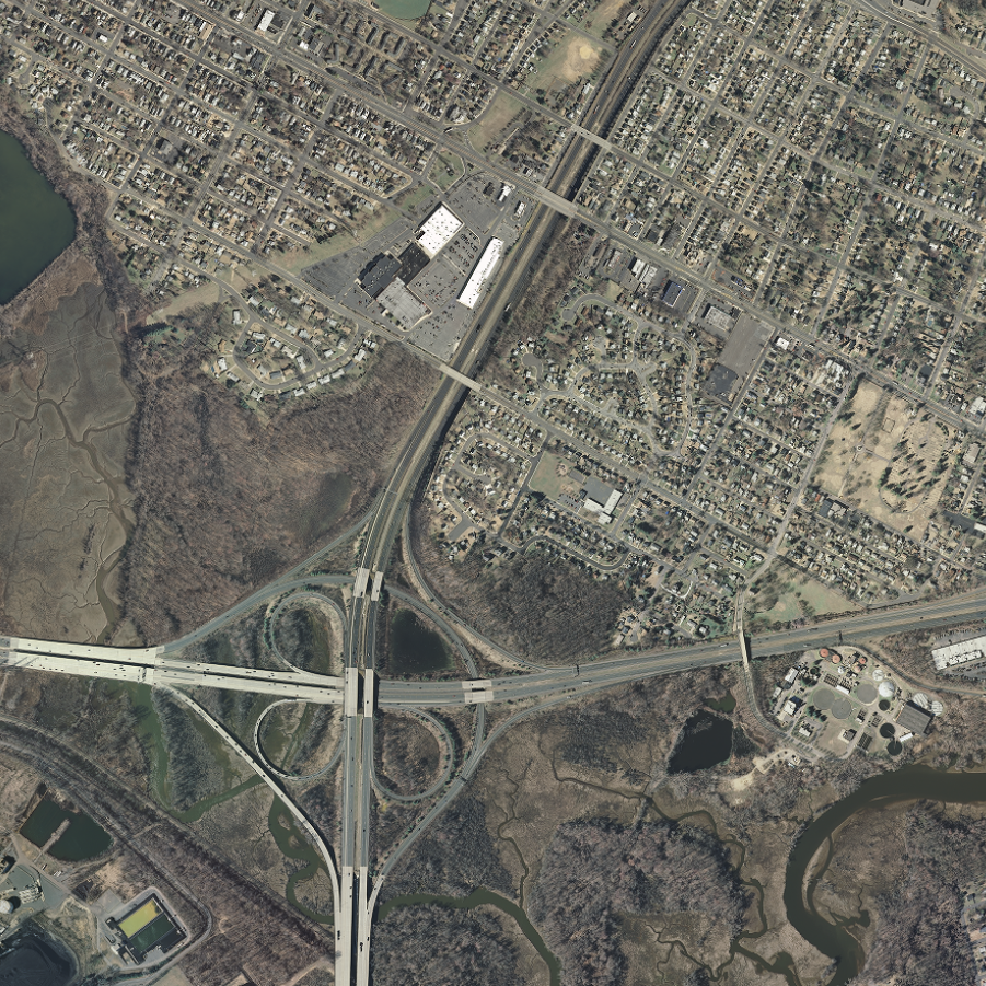
An orthophoto grid (tile index) for 2007 imagery is included (shapefile & file geodatabase), Orthophoto_Grid_2007_for_New_Jersey.zip. It is also available for viewing and download on NJGIN Open Data. |
Download 2007 MrSID (MG3) and COG tiles
There are 18,404 MrSID (MG3) and COG tiles totaling 2.2 TB. Be sure there is adequate storage available on your computer. Once the CLI is installed, list all the tiles with the following command:
aws s3 ls s3://njogis-imagery/2007/ --no-sign-request --recursive --human-readable
Perform a dry run without downloading any tiles to confirm the CLI is working and the command parameters are correct. Change the c:\tiles\ to the local directory into which the files will be copied. To execute a dry run, use the following command:
aws s3 cp s3://njogis-imagery/2007/ c:\tiles\ --no-sign-request --recursive --dryrun
Upon a successful dry run, download the tiles to your computer using the following command (note the omission of the --dry-run parameter used above):
aws s3 cp s3://njogis-imagery/2007/ c:\tiles\ --no-sign-request --recursive
The download command will run unattended until completion. It is likely to require several hours (or possibly days) depending on the speed of your internet connection and computer.
Download 2007 MrSID (MG3) tiles
There are 9,202 MrSID (MG3) tiles totaling 43.3 GB. Be sure there is adequate storage available on your computer. Once the CLI is installed, list all the MrSID tiles with the following command:
aws s3 ls s3://njogis-imagery/2007/sid/ --no-sign-request --recursive --human-readable
Perform a dry run without downloading any tiles to confirm the CLI is working and the command parameters are correct. Change the c:\tiles\ to the local directory into which the files will be copied. To execute a dry run, use the following command:
aws s3 cp s3://njogis-imagery/2007/sid/ c:\tiles\ --no-sign-request --recursive --dryrun
Upon a successful dry run, download the tiles to your computer using the following command (note the omission of the --dry-run parameter used above):
aws s3 cp s3://njogis-imagery/2007/sid/ c:\tiles\ --no-sign-request --recursive
The download command will run unattended until completion. It is likely to require several hours (or possibly days) depending on the speed of your internet connection and computer.
Download 2007 COG tiles
There are 9,202 COG tiles totaling 2.2 TB. Be sure there is adequate storage available on your computer. Once the CLI is installed, list all the COG tiles with the following command:
aws s3 ls s3://njogis-imagery/2007/cog/ --no-sign-request --recursive --human-readable
Perform a dry run without downloading any tiles to confirm the CLI is working and the command parameters are correct. Change the c:\tiles\ to the local directory into which the files will be copied. To execute a dry run, use the following command:
aws s3 cp s3://njogis-imagery/2007/cog/ c:\tiles\ --no-sign-request --recursive --dryrun
Upon a successful dry run, download the tiles to your computer using the following command (note the omission of the --dry-run parameter used above):
aws s3 cp s3://njogis-imagery/2007/cog/ c:\tiles\ --no-sign-request --recursive
The download command will run unattended until completion. It is likely to require several hours (or possibly days) depending on the speed of your internet connection and computer.
 |
To download the files, install the AWS Command Line Interface to issue commands from your computer's command prompt. In Windows 10, that is found under "Windows System" or by right-clicking the Windows Start button, then click Run, then type cmd into the command line, then click OK. Instructions for download options are provided below. An orthophoto grid (tile index) for 2002 imagery is included (shapefile & file geodatabase), Orthophoto_Grid_2002_for_New_Jersey.zip. It is also available for viewing and download on NJGIN Open Data. |
Download 2002 COG tiles
There are 9,201 COG tiles totaling 656.4 GB. Be sure there is adequate storage available on your computer. Once the CLI is installed, list all the COG tiles with the following command:
aws s3 ls s3://njogis-imagery/2002/cog/ --no-sign-request --recursive --human-readable
Perform a dry run without downloading any tiles to confirm the CLI is working and the command parameters are correct. Change the c:\tiles\ to the local directory into which the files will be copied. To execute a dry run, use the following command:
aws s3 cp s3://njogis-imagery/2002/cog/ c:\tiles\ --no-sign-request --recursive --dryrun
Upon a successful dry run, download the tiles to your computer using the following command (note the omission of the --dry-run parameter used above):
aws s3 cp s3://njogis-imagery/2002/cog/ c:\tiles\ --no-sign-request --recursive
The download command will run unattended until completion. It is likely to require several hours (or possibly days) depending on the speed of your internet connection and computer.
 |
To download the files, install the AWS Command Line Interface to issue commands from your computer's command prompt. In Windows 10, that is found under "Windows System" or by right-clicking the Windows Start button, then click Run, then type cmd into the command line, then click OK. Instructions for download options are provided below. An orthophoto grid (tile index) for 1995 imagery is included (shapefile & file geodatabase), Orthophoto_Grid_1995_for_New_Jersey.zip. |
Download 1995 MrSID (MG4) tiles
There are 597 MrSID (MG4) tiles and 598 associated files totaling 22.8 GB. Be sure there is adequate storage available on your computer. Once the CLI is installed, list all the COG tiles with the following command:
aws s3 ls s3://njogis-imagery/1995/SID/ --no-sign-request --recursive --human-readable
Perform a dry run without downloading any tiles to confirm the CLI is working and the command parameters are correct. Change the c:\tiles\ to the local directory into which the files will be copied. To execute a dry run, use the following command:
aws s3 cp s3://njogis-imagery/1995/SID/ c:\tiles\ --no-sign-request --recursive --dryrun
Upon a successful dry run, download the tiles to your computer using the following command (note the omission of the --dry-run parameter used above):
aws s3 cp s3://njogis-imagery/1995/SID/ c:\tiles\ --no-sign-request --recursive
The download command will run unattended until completion. It is likely to require several hours (or possibly days) depending on the speed of your internet connection and computer.
 |
To download the files, install the AWS Command Line Interface to issue commands from your computer's command prompt. In Windows 10, that is found under "Windows System" or by right-clicking the Windows Start button, then click Run, then type cmd into the command line, then click OK. Instructions for download options are provided below. An orthophoto grid (tile index) for 1977 imagery is included (shapefile & file geodatabase), Orthophoto_Grid_1977_for_New_Jersey.zip. |
Download 1977 COG tiles
There are 1,622 COG tiles totaling 158.9 GB. Be sure there is adequate storage available on your computer. Once the CLI is installed, list all the COG tiles with the following command:
aws s3 ls s3://njogis-imagery/1977/cog/ --no-sign-request --recursive --human-readable
Perform a dry run without downloading any tiles to confirm the CLI is working and the command parameters are correct. Change the c:\tiles\ to the local directory into which the files will be copied. To execute a dry run, use the following command:
aws s3 cp s3://njogis-imagery/1977/cog/ c:\tiles\ --no-sign-request --recursive --dryrun
Upon a successful dry run, download the tiles to your computer using the following command (note the omission of the --dry-run parameter used above):
aws s3 cp s3://njogis-imagery/1977/cog/ c:\tiles\ --no-sign-request --recursive
The download command will run unattended until completion. It is likely to require several hours (or possibly days) depending on the speed of your internet connection and computer.
 |
To download the files, install the AWS Command Line Interface to issue commands from your computer's command prompt. In Windows 10, that is found under "Windows System" or by right-clicking the Windows Start button, then click Run, then type cmd into the command line, then click OK. Instructions for download options are provided below. An orthophoto grid (tile index) for 1970 imagery is included (shapefile & file geodatabase), Orthophoto_Grid_1970_for_New_Jersey.zip. |
Download 1970 MrSID (MG4) tiles
There are 952 MrSID (MG4) tiles totaling 24.6 GB. Be sure there is adequate storage available on your computer. Once the CLI is installed, list all the COG tiles with the following command:
aws s3 ls s3://njogis-imagery/1970/SID/ --no-sign-request --recursive --human-readable
Perform a dry run without downloading any tiles to confirm the CLI is working and the command parameters are correct. Change the c:\tiles\ to the local directory into which the files will be copied. To execute a dry run, use the following command:
aws s3 cp s3://njogis-imagery/1970/SID/ c:\tiles\ --no-sign-request --recursive --dryrun
Upon a successful dry run, download the tiles to your computer using the following command (note the omission of the --dry-run parameter used above):
aws s3 cp s3://njogis-imagery/1970/SID/ c:\tiles\ --no-sign-request --recursive
The download command will run unattended until completion. It is likely to require several hours (or possibly days) depending on the speed of your internet connection and computer.
 |
To download the files, install the AWS Command Line Interface to issue commands from your computer's command prompt. In Windows 10, that is found under "Windows System" or by right-clicking the Windows Start button, then click Run, then type cmd into the command line, then click OK. Instructions for download options are provided below: |
|
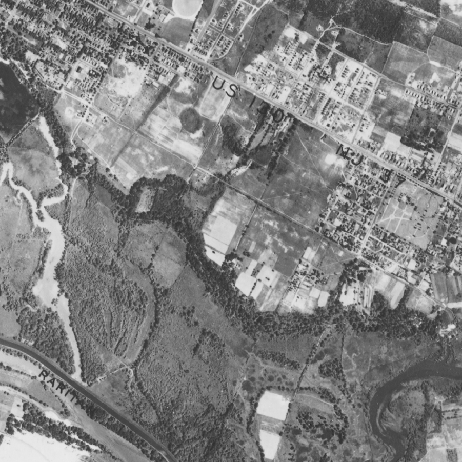
An orthophoto grid (tile index) for 1930s imagery is included (shapefile & file geodatabase), Orthophoto_Grid_1930s_for_New_Jersey.zip. It is also available for viewing and download on NJGIN Open Data. |
Download 1930s MrSID (MG4) and COG tiles
There are 271 MrSID (MG4) and COG tiles totaling 7.8 GB. Be sure there is adequate storage available on your computer. Once the CLI is installed, list all the tiles with the following command:
aws s3 ls s3://njogis-imagery/1930/ --no-sign-request --recursive --human-readable
Perform a dry run without downloading any tiles to confirm the CLI is working and the command parameters are correct. Change the c:\tiles\ to the local directory into which the files will be copied. To execute a dry run, use the following command:
aws s3 cp s3://njogis-imagery/1930/ c:\tiles\ --no-sign-request --recursive --dryrun
Upon a successful dry run, download the tiles to your computer using the following command (note the omission of the --dry-run parameter used above):
aws s3 cp s3://njogis-imagery/1930/ c:\tiles\ --no-sign-request --recursive
The download command will run unattended until completion. It is likely to require several hours (or possibly days) depending on the speed of your internet connection and computer.
Download 1930s MrSID (MG4) tiles
There are 9 MrSID (MG4) tiles totaling 2.6 GB. Be sure there is adequate storage available on your computer. Once the CLI is installed, list all the MrSID tiles with the following command:
aws s3 ls s3://njogis-imagery/1930/sid/ --no-sign-request --recursive --human-readable
Perform a dry run without downloading any tiles to confirm the CLI is working and the command parameters are correct. Change the c:\tiles\ to the local directory into which the files will be copied. To execute a dry run, use the following command:
aws s3 cp s3://njogis-imagery/1930/sid/ c:\tiles\ --no-sign-request --recursive --dryrun
Upon a successful dry run, download the tiles to your computer using the following command (note the omission of the --dry-run parameter used above):
aws s3 cp s3://njogis-imagery/1930/sid/ c:\tiles\ --no-sign-request --recursive
The download command will run unattended until completion. It is likely to require several hours (or possibly days) depending on the speed of your internet connection and computer.
Download 1930s COG tiles
There are 262 COG tiles totaling 5.2 GB. Be sure there is adequate storage available on your computer. Once the CLI is installed, list all the COG tiles with the following command:
aws s3 ls s3://njogis-imagery/1930/cog/ --no-sign-request --recursive --human-readable
Perform a dry run without downloading any tiles to confirm the CLI is working and the command parameters are correct. Change the c:\tiles\ to the local directory into which the files will be copied. To execute a dry run, use the following command:
aws s3 cp s3://njogis-imagery/1930/cog/ c:\tiles\ --no-sign-request --recursive --dryrun
Upon a successful dry run, download the tiles to your computer using the following command (note the omission of the --dry-run parameter used above):
aws s3 cp s3://njogis-imagery/1930/cog/ c:\tiles\ --no-sign-request --recursive
The download command will run unattended until completion. It is likely to require several hours (or possibly days) depending on the speed of your internet connection and computer.
USDA National Agriculture Imagery Program (NAIP) collections are available for download by county at the USDA Natural Resources Conservation Service Geospatial Data Gateway. Click on the link for National Ag. Imagery Program County Mosaic, then select the year, then select NJ. For the 2019 collection, downloads for natural color and color IR are available. For all other collections, downloads for natural color are available.
The USGS National High Altitude Program (NHAP) imagery collection for 1980-1987 is available for download at the USGS EarthExplorer website. First, you must register with USGS EROS to download data. To register, click on the Login button at the top right of the page, then click the Create New Account button and follow the instructions.
After registering, login to the EarthExplorer home page. Click on the Data Sets tab at the top left of the page, then click open Aerial Imagery in the Data Set list, then check the box for NHAP. Next, click the Additional Criteria tab, then click on the filter button for State and select New Jersey. Scroll to the bottom of the page and click the Results button. A list of the first 100 imagery tiles will appear in the left pane.
Click the Show Result Controls drop down menu and select Add All Results to Current Page to Bulk Download. This will add the first 100 tiles to your Item Basket at the top of the page. Click on the top of the tile list to go to the next page. Repeat the instructions for adding the next 100 tiles to your Item Basket until all tiles are selected. Then follow the remaining instructions to execute the bulk download.
 Official Site of The State of New Jersey
