 Official Site of The State of New Jersey
Parcels
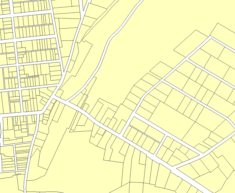
Parcels are one of the most important framework GIS datasets. While the represented parcels are not survey data, they allow graphical based analysis and viewing of key tax assessment data like property ownership, tax and assessment distribution, exempt property and property use. They also assist in many planning uses including vacant and developed land, land use, zoning, preserved open space and flood zone analysis.
The statewide parcel composite is an aggregation of each county’s parcel data that is edge-matched across county boundaries by NJOGIS. The actual parcel data is maintained by each individual county. The parcel composite is updated annually as updates are received from each county. A detailed parcel update history can be viewed here.
The statewide composite of parcels (cadastral) data for New Jersey was developed during the Parcels Normalization Project in 2008-2014 by NJOGIS.
The normalized parcels data are compatible with the New Jersey Department of Treasury MOD-IV system currently used by Tax Assessors. This composite of parcels data serves as one of New Jersey's framework GIS data sets. Stewardship and maintenance of the data will continue to be the purview of county and municipal governments, but the statewide composite will be maintained by NJOGIS. Parcel attributes were normalized to a standard structure, specified in the New Jersey GIS Parcel Mapping Standard, to store parcel information and provide a PIN (parcel identification number) field common to the PIN stored in the PAMS database.
Normalization of the parcels data utilized statewide municipal, county and state boundaries data, provided by NJOGIS, as the spatial framework within which to align the parcel data. The resulting, normalized parcels data accurately and correctly edge-matched at and across most municipal boundaries except as noted above. Improvements to the municipal, county and state boundaries data were made during this process.
The polygons delineated in the dataset do not represent legal boundaries and should not be used to provide a legal determination of land ownership. Parcels are not survey data and should not be used as such.
For the most up to date county parcels, please contact the county parcels Data Steward directly. The county parcels may not be edge-matched with adjacent counties.
Redaction of owner names from parcels and tax list database
In compliance with the provisions and protections afforded the personally identifiable information of certain persons, as enacted by Daniel’s Law (P.L. 2020, c. 125), the NJ Office of GIS has redacted owner names from all hosted parcels and tax list database downloads, map services and applications.
- Statewide Parcels (File Geodatabase)
- Statewide MOD-IV Download (File Geodatabase)
- Statewide Parcels Joined with MOD-IV (File Geodatabase)
- Statewide Parcels Joined with MOD-IV (Hosted Feature Service)
- Statewide Tax Blocks (ArcGIS REST)
- County Parcels (File Geodatabase and Shapefile)
- Property Explorer App
- Parcels Basemap (ArcGIS REST)
- Parcels Basemap (WMTS)
- Parcel Mapping Standard
- MOD-IV User Manual