 Official Site of The State of New Jersey
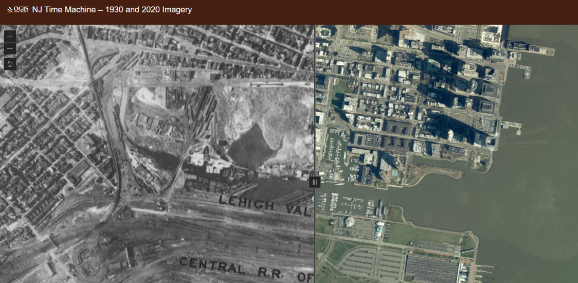
NJOGIS applications and services to be retired on Monday, June 10
The NJ Office of GIS will be retiring GIS applications and services in favor of hosted (cloud) services capable of high demand and services published by authoritative GIS data stewards. These GIS applications and services will be taken down on or around Monday, June 10, 2024. View the list of retirements at the link below.
May 2024
Maintenance scheduled for NJOGIS map services & applications
Due to scheduled maintenance, NJOGIS map services & applications may be unavailable on Monday, April 15, 2024 from noon to 1pm. We apologize for any inconvenience.
April 2024
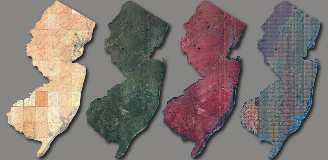
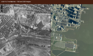
NJ Time Machine App Released – 1930 and 2020 Imagery
The Time Machine application juxtaposes existing statewide orthoimagery libraries from 1930 and 2020 to let users see the changes to the New Jersey landscape over the intervening 90 years.
January 2024
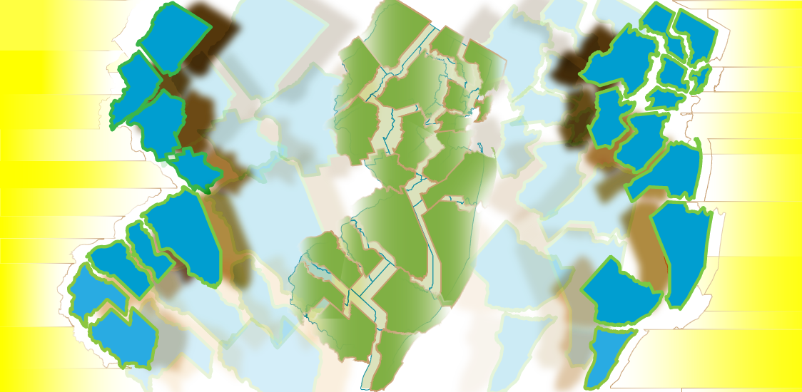
Updated Parcels and MOD-IV data available for New Jersey
The Statewide Parcel and MOD-IV Composite have been updated with data from the 2022 tax year. Recent data updates include Atlantic, Essex, and Somerset Counties, along with new tax Block and Lot numbers for the City of Elizabeth in Union County.
November 2023
New basemap service updates
The color and light gray basemaps were updated to include lighthouse structures, hospitals, and ferry terminals, along with data updates and visual enhancements to existing layers. The parcels basemaps now reflect the latest NJOGIS parcels publication.
October 2023
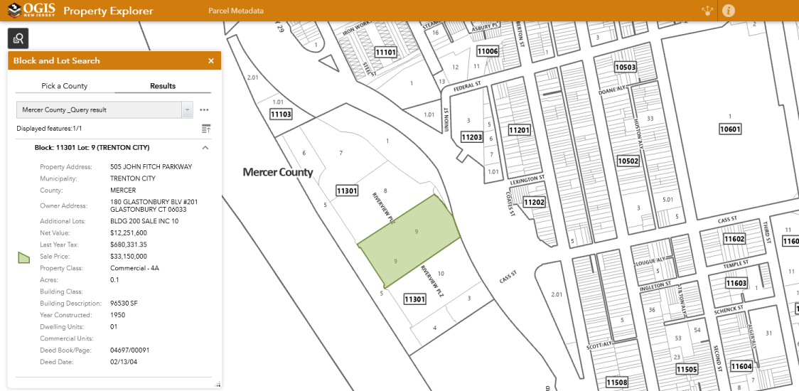
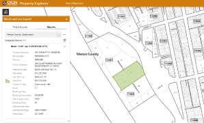
Property Explorer App now out of beta
The NJOGIS Property Explorer application is out of beta and now features improved search performance and an additional lots field.
September 2023
NJOGIS applications and services to be retired on Monday, June 10
The NJ Office of GIS will be retiring GIS applications and services in favor of hosted (cloud) services capable of high demand and services published by authoritative GIS data stewards. These GIS applications and services will be taken down on or around Monday, June 10, 2024. View the list of retirements at the link below.
May 2024
Maintenance scheduled for NJOGIS map services & applications
Due to scheduled maintenance, NJOGIS map services & applications may be unavailable on Monday, April 15, 2024 from noon to 1pm. We apologize for any inconvenience.
April 2024
NJ Time Machine App Released – 1930 and 2020 Imagery
The Time Machine application juxtaposes existing statewide orthoimagery libraries from 1930 and 2020 to let users see the changes to the New Jersey landscape over the intervening 90 years.
January 2024
Updated Parcels and MOD-IV data available for New Jersey
The Statewide Parcel and MOD-IV Composite have been updated with data from the 2022 tax year. Recent data updates include Atlantic, Essex, and Somerset Counties, along with new tax Block and Lot numbers for the City of Elizabeth in Union County.
November 2023
New basemap service updates
The color and light gray basemaps were updated to include lighthouse structures, hospitals, and ferry terminals, along with data updates and visual enhancements to existing layers. The parcels basemaps now reflect the latest NJOGIS parcels publication.
October 2023
Property Explorer App now out of beta
The NJOGIS Property Explorer application is out of beta and now features improved search performance and an additional lots field.
September 2023
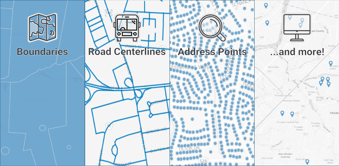
Interactive Maps
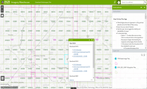
Imagery Warehouse
Interactively download tiles from the most frequently requested imagery collections
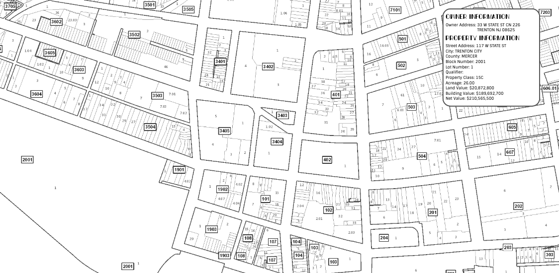
Property Explorer App
Search all parcels in NJ by address, county, municipality, block and lot
NJ Time Machine – 1930 and 2020 Imagery
See the many changes in the New Jersey landscape over a 90-year span from 1930 to 2020
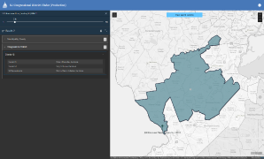
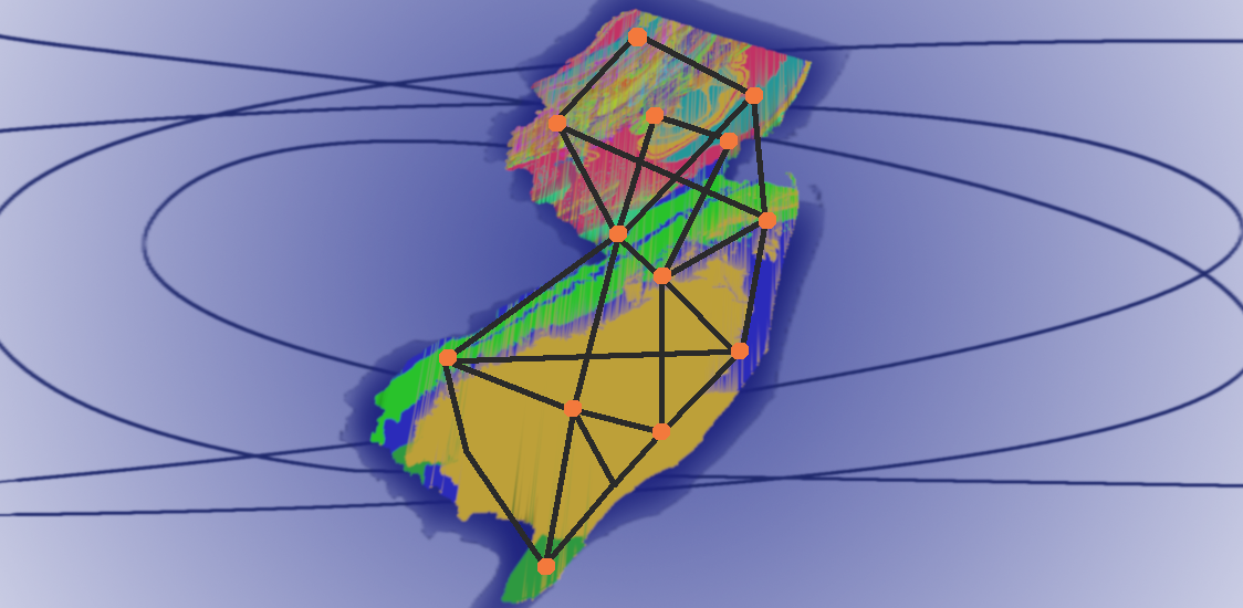
Congressional District Finder
Search for U.S. Senators and Congressional Representatives by address
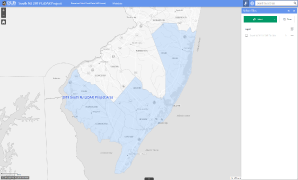
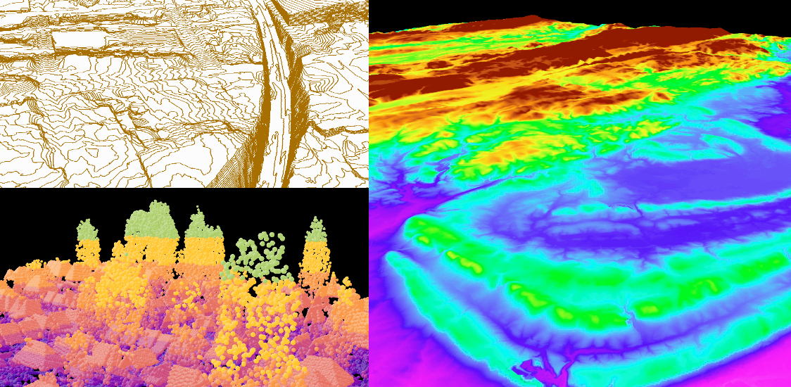
2019 South NJ LiDAR Collection
Download point cloud data (.laz files) and other elevation products
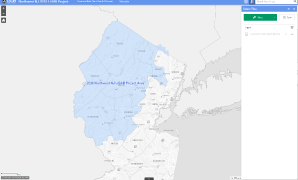
2018 Northwest NJ LiDAR Collection
Download point cloud data (.laz)